Core Capability
Engineering Intelligence
Turn raw project files, specs, and field data into structured intelligence, permit packages, and infrastructure insights.
Evidence-Driven Infrastructure & Permitting
Transform raw project files, field surveys, and corridor data into structured engineering intelligence, authority-ready permit packages, and actionable infrastructure insights.
Practice Areas
Built for civil corridors, utility crossings, and right-of-way permitting—turning scattered field documentation into verified engineering deliverables.
Core Capability
Turn raw project files, specs, and field data into structured intelligence, permit packages, and infrastructure insights.
Workflow Automation
Assemble complete, structured submittal and permit documentation from project files with fewer bottlenecks across jurisdictions.
Decision Visibility
Surface site risks, progress signals, and actionable infrastructure insights across active project files before filing.
Field & Corridor Documentation
Ground survey capture, corridor inspection, and drawing coordination that anchor every submittal package.




Methodology
From raw field intake to jurisdiction-ready permit submittals without guesswork.
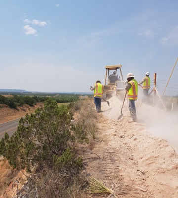
Classify surveys, designs, BOMs, and field photos to resolve exact route geometry before any authority is assumed.
Verify governing cities, counties, DOT districts, railroads, and utility crossings against official boundary and GIS records.
Generate authority-specific plansets, sheet indexes, quantity tables, and conflict flags ready for review and filing.
Project Intake
Send corridor files, survey packages, or permitting questions directly to our engineering team in Richardson, Texas.